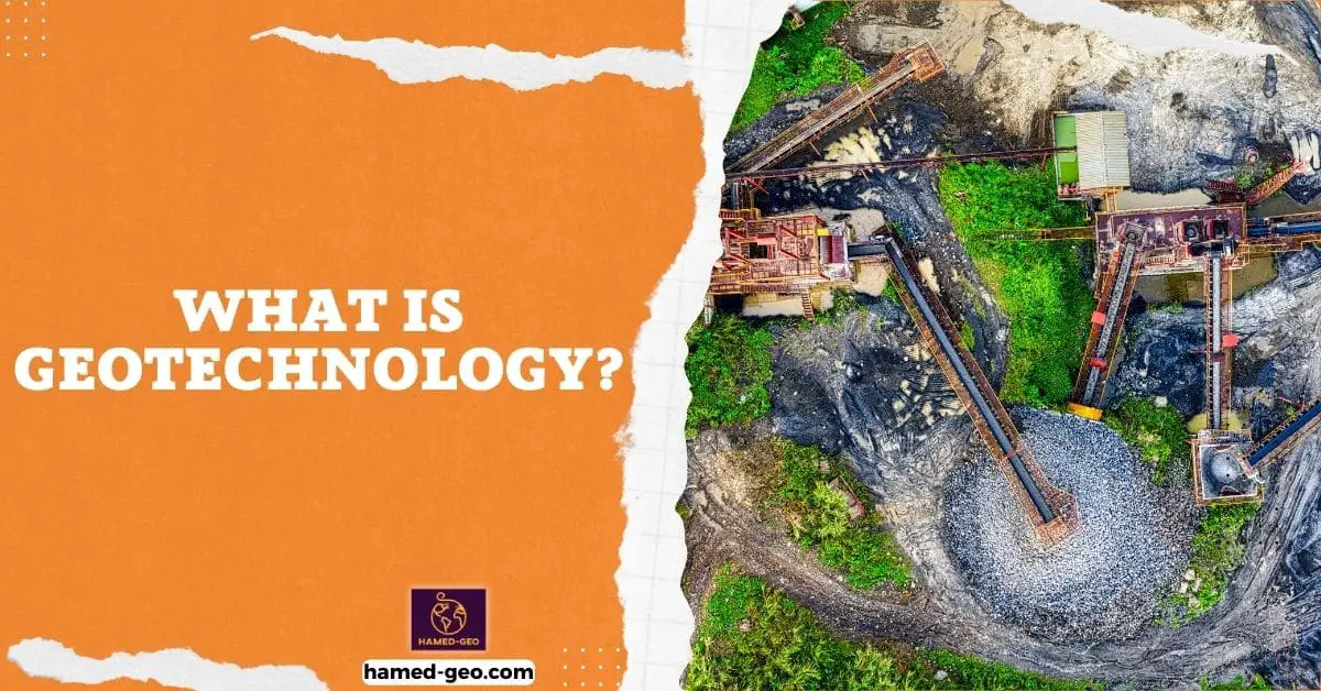
Geotechnology is an interdisciplinary field that combines the knowledge and techniques of geology, engineering, and technology to address a wide range of issues related to the Earth and its resources. The field of geotechnology is concerned with understanding the Earth’s structure, composition, and history, as well as the impact of human activity on the planet. It encompasses a wide range of sub-disciplines, including geophysics, remote sensing, environmental geology, and geotechnical engineering.
The main applications of geotechnology include natural hazards and resource management, environmental protection, and infrastructure development. In the field of natural hazards and resource management, geotechnology is used to identify and understand natural hazards such as earthquakes, landslides, and volcanic eruptions, and to predict the potential impacts of these hazards on human populations. It is also used to identify and assess the quality and quantity of natural resources such as minerals, water, and energy, and to develop plans for their extraction and use.
In the field of environmental protection, geotechnology is used to protect and restore ecosystems and deal with soil and water pollution. It is also used to minimize negative impacts on the environment when managing natural resources. Finally, in the field of infrastructure development, geotechnology is used to design and construct infrastructure such as roads, bridges, buildings, and tunnels, and to monitor the stability of infrastructure during and after construction.
Natural Hazard Assessment and Management
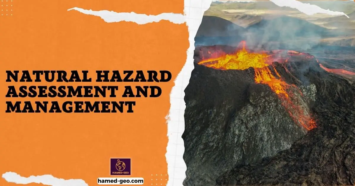
Geophysics and remote sensing are key techniques used in natural hazard assessment and management. These techniques allow geotechnologists to identify and understand natural hazards such as earthquakes, landslides, and volcanic eruptions, and to predict the potential impacts of these hazards on human populations. In addition, geotechnology is used to develop strategies for managing and mitigating these risks.
Geophysics is a broad field that encompasses a wide range of techniques and methods for studying the Earth’s physical properties and processes. Some of the key techniques used in geophysics include:
- Seismology: the study of earthquakes and the structure of the Earth’s interior using seismic waves. Seismologists use data from seismic sensors, such as seismographs, to locate and study earthquakes, and to determine the properties of the Earth’s crust and upper mantle. Seismic data can also be used to identify areas that are at risk of earthquakes and to estimate the potential magnitude of future earthquakes.
- Gravity and magnetism: the study of the Earth’s gravity and magnetic fields. Geophysicists use data from gravity and magnetic sensors to map the density and composition of the Earth’s subsurface. This can help to identify areas that are at risk of landslides, volcanic eruptions, and other hazards.
- Electrical resistivity: the study of the electrical properties of the Earth’s subsurface. Geophysicists use data from electrical resistivity surveys to map the distribution of subsurface materials, such as rock types, water, and mineral deposits. This can help to identify areas that are at risk of landslides, volcanic eruptions, and other hazards.
Remote sensing, on the other hand, is the use of sensors that are placed on satellites, aircraft, or ground-based platforms to collect data on the Earth’s surface and atmosphere. Some of the key remote sensing techniques used in natural hazard assessment and management include:
Radar: uses radio waves to detect and map features such as landforms, vegetation, and soil properties. Radar can be used to detect and map areas that are at risk of landslides, floods, and wildfires.
Lidar: uses laser beams to detect and map features such as landforms, vegetation, and soil properties. Lidar can be used to detect and map areas that are at risk of landslides, floods, and wildfires.
Optical imaging: uses visible and infrared light to detect and map features such as landforms, vegetation, and soil properties. Optical imaging can be used to detect and map areas that are at risk of landslides, floods, and wildfires.
Together, geophysics and remote sensing provide a powerful toolset for identifying and understanding natural hazards, and for developing strategies to manage and mitigate these risks. For example, geophysical data can be used to map subsurface faults and to determine their potential for generating earthquakes. Remote sensing data can be used to identify areas that are at risk of landslides and to monitor changes in land cover that may indicate increased risk. By combining these techniques, geotechnologists can gain a better understanding of the causes and potential impacts of natural hazards and develop more effective strategies for managing and mitigating these risks. Additionally, both techniques have been widely used in the monitoring and management of natural resources and land-use planning, such as groundwater exploration, mineral deposit identification, and urban planning.
One subfield of geotechnology that plays a critical role in natural hazard assessment and management is Earthquake Engineering. This subfield is concerned with designing structures that can withstand the forces of earthquakes and minimize the risk of damage or collapse. Geotechnologists use a range of techniques, including computer modeling and physical testing, to design structures that can withstand the forces of earthquakes and other natural hazards.
Earthquake Engineering is a subfield of geotechnology that uses principles of engineering, physics, and geology to understand and mitigate the effects of earthquakes on the built environment. The goal of earthquake engineering is to design structures and systems that can withstand the forces of earthquakes and minimize the risk of damage or collapse. This includes both new construction and retrofitting of existing structures.
Geotechnologists use a range of techniques to design structures that can withstand earthquakes, including:
- Seismic hazard assessment: This involves analyzing the likelihood of earthquakes occurring in a particular area, and the potential ground motion that could result from those earthquakes. This information is used to determine the design seismic forces that a structure must be able to withstand.
- Computer modeling: Computer simulations are used to model the response of structures to seismic ground motion. These simulations can help engineers to understand how a structure will behave during an earthquake and identify potential weaknesses that need to be addressed.
- Physical testing: Physical testing is used to validate the performance of structures and systems under seismic loads. This can include testing of full-scale structures in a shake table or testing of individual components in a laboratory.
- Performance-based design: This is an approach to design that focuses on the overall performance of a structure during and after an earthquake, rather than just the design of individual components. This approach considers the entire life cycle of a structure, including its expected performance during an earthquake, post-earthquake functionality and repairability, and the overall cost-benefit ratio.
Natural Resource Exploration and Management
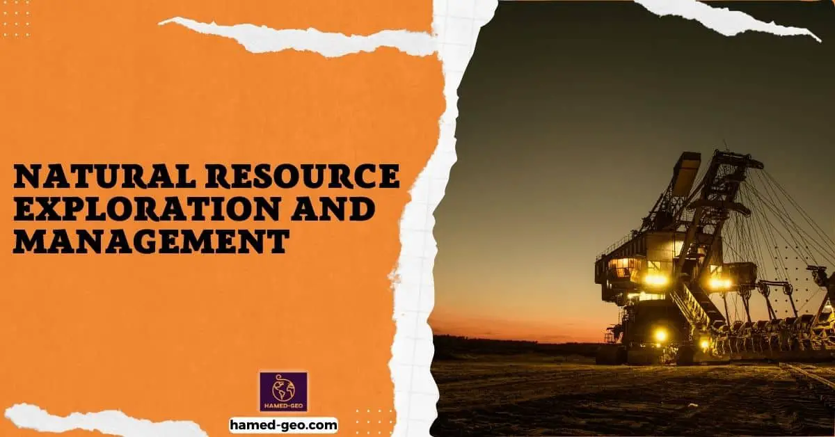
Geotechnology plays a critical role in natural resource exploration and management, from identifying and assessing the quality and quantity of natural resources such as minerals, water, and energy to developing plans for their extraction and use. Geological mapping, geophysics, and other techniques are used to identify and assess the quality and quantity of natural resources, and to develop plans for their extraction and use. It’s important to minimize negative impacts on the environment when managing natural resources, example in the mining industry, geotechnology plays an important role in the sustainable development of natural resources.
One key technique used in natural resource exploration is geological mapping, which involves creating detailed maps of the Earth’s surface and subsurface geology. This can help to identify areas that are likely to contain valuable natural resources, such as mineral deposits, water resources, and fossil fuel reserves. Geological mapping can be done using a variety of techniques, including field mapping, remote sensing, and geophysical surveys.
Geophysics is another key technique used in natural resource exploration. Geophysics uses a range of techniques, such as seismology, gravity, magnetism, and electrical resistivity, to study the Earth’s structure, composition, and dynamics. These techniques can be used to identify subsurface features that may be associated with natural resources, such as mineral deposits, water resources, and fossil fuel reserves.
Once natural resources have been identified, geotechnology can be used to assess the quality and quantity of these resources. For example, geochemical analysis can be used to determine the composition and purity of mineral deposits, while hydrological studies can be used to assess the quantity and quality of water resources.
In addition to identifying and assessing natural resources, geotechnology also plays a critical role in developing plans for their extraction and use. For example, in the mining industry, geotechnology can be used to design and optimize mining operations to minimize negative impacts on the environment and to ensure the sustainable development of natural resources. This can include developing reclamation plans to restore disturbed lands and designing tailings management systems to minimize the environmental impact of mining operations.
In short, geotechnology plays a vital role in natural resource exploration and management. By using a combination of geological mapping, geophysics, and other techniques, geotechnologists can identify and assess the quality and quantity of natural resources, and develop sustainable plans for their extraction and use. This can help to minimize negative impacts on the environment, support the sustainable development of natural resources, and contribute to the overall well-being of human society.
Environmental Management
Geotechnology plays an important role in protecting and restoring ecosystems and addressing soil and water pollution. By using a combination of geologic, engineering, and environmental principles, geotechnologists can identify and address environmental issues such as soil and water pollution, and develop strategies for protecting and restoring ecosystems.
One key technique used in environmental protection and restoration is groundwater remediation. This involves removing contaminants from groundwater, such as pollutants from industrial activities or agricultural practices, to make it safe for drinking or other uses. Groundwater remediation can involve a variety of techniques, such as pump and treat, in-situ bioremediation, and natural attenuation. These techniques can help to minimize negative impacts on the environment by cleaning up contaminated groundwater and making it safe for use.
Soil stabilization is another technique used in environmental protection and restoration. Soil stabilization involves improving the physical and chemical properties of soil to make it more stable and resistant to erosion. This can be done using a variety of methods, such as adding chemicals or other materials to the soil to improve its strength or using physical methods such as compaction to make the soil dense. Soil stabilization can be used to address environmental issues such as soil erosion, landslides, and sinkholes.
In addition to groundwater remediation and soil stabilization, geotechnology can also be used to protect and restore ecosystems. For example, geotechnology can be used to design and construct structures such as dams, levees, and other flood control measures to protect ecosystems from the impacts of floods and other natural hazards. Similarly, geotechnology can be used to design and construct green infrastructure such as rain gardens and green roofs to reduce the impacts of urbanization on ecosystems.
Infrastructure and Civil Engineering
Geotechnology plays a critical role in the design and construction of infrastructure such as roads, bridges, buildings, and tunnels. Geotechnologists use a range of techniques, including computer modeling, physical testing, and field investigation to design and construct infrastructure that can withstand natural hazards and the test of time. These techniques involve the integration of geological, geotechnical, and engineering principles to ensure that the infrastructure is built on stable ground is able to withstand the forces of nature, and is able to function safely and efficiently.
One key technique used in the design and construction of infrastructure is computer modeling. Computer simulations are used to model the response of structures to various loads, such as gravity, wind, and seismic forces. These simulations can help engineers to understand how a structure will behave during different conditions, identify potential weaknesses, and optimize the design to ensure that the structure can withstand natural hazards such as earthquakes and floods.
Physical testing is another important technique used in the design and construction of infrastructure. Physical testing is used to validate the performance of structures and systems under various loads, such as gravity, wind, and seismic forces. This can include testing of full-scale structures in a shake table or testing of individual components in a laboratory. Physical testing helps to ensure that the infrastructure is able to withstand natural hazards and function safely and efficiently.
Field investigation is also an important technique used in the design and construction of infrastructure. Field investigation involves the examination of the geology, soil, and rock conditions at a construction site. This can include drilling boreholes, performing test pits, and conducting geophysical surveys to determine the subsurface conditions. Field investigation helps to identify potential hazards and constraints, and to ensure that the infrastructure is built on stable ground.
In addition to design and construction, geotechnology also plays a critical role in monitoring the stability of infrastructure during and after construction. This includes monitoring subsidence, settlement, or other movements that could indicate potential failure or instability. This can be done by using techniques such as inclinometers, extensometers, and tiltmeters, to measure the movement of the structure and identify any potential problems. This monitoring helps to ensure that the infrastructure continues to function safely and efficiently.
Geotechnology plays a critical role in the design, construction, and monitoring of infrastructure. Using computer modeling, physical testing, field investigation, and monitoring techniques, geotechnologists can design and construct infrastructure that can withstand natural hazards, function safely and efficiently, and continue to perform well over time.
Areas of geotechnology
Geotechnology is a field that is constantly evolving as new technology and techniques are developed. Some specific areas of geotechnology that may be of interest include:
- Geotechnical instrumentation: This is the use of sensors and other instruments to monitor the behavior of soil and rock, as well as structures built on or in the ground. This includes monitoring ground movement, soil and rock strength, and water flow. This information is used to evaluate the stability of structures, predict how they will perform in the future, and detect potential problems early on.
- Geoenvironmental engineering: This is the application of geotechnology to the management of environmental problems, such as groundwater contamination, soil pollution, and waste management. This involves the use of techniques such as remediation, bioaugmentation and bioremediation, and land reclamation.
- Geotechnical numerical modeling: This is the use of computer models to simulate the behavior of soil and rock, and how they interact with structures. The models can be used to predict how soil and rock will respond to different loads and conditions, and how structures will behave under different conditions. This helps engineers to design more efficient and cost-effective structures and to evaluate the performance of existing structures.
- Tunneling and underground construction: This is an area of geotechnology that involves the construction of underground structures such as tunnels and underground mines. This involves understanding and managing geotechnical risks, such as groundwater and rock mechanics.
- Remote Sensing: This is a tool that geotechnologists often use to obtain information about the earth’s surface, such as its geological structure, mineral resources, or land use and cover. Remote sensing includes the use of satellite imagery, aerial photography, and other types of data acquisition methods which can be used to provide detailed information about a specific area.
- GIS and Geomatics: Geotechnology also make use of GIS and geomatics, which is a technology that involves the collection, management, analysis, and visualization of geographic information. This technology allows geotechnologists to combine geographic information with other data types, such as geological maps and geotechnical data, to create detailed spatial models of the Earth’s surface and subsurface. GIS and geomatics are used in many areas of geotechnology, such as natural resource exploration, environmental management, and infrastructure development, to help make data-driven decisions and identify potential areas of concern.
- Coastal and marine geotechnology: This deals with issues related to the coast and the sea, such as coastal erosion, land loss, and the effects of sea-level rise. This area of geotechnology involves the use of techniques such as wave modeling, sediment transport analysis, and coastal zone management.
- Geotechnical disaster management: This is a field that deals with the assessment, mitigation, and management of natural disasters such as floods, landslides, and earthquakes. Geotechnical disaster management involves the use of techniques such as early warning systems, hazard mapping, and risk assessment to help reduce the impact of natural disasters on communities and infrastructure.
- Green geotechnology: This is a field that involves the use of geotechnology to find sustainable solutions for environmental problems, such as reducing greenhouse gas emissions and improving energy efficiency. This area of geotechnology includes the use of techniques such as sustainable land use planning, renewable energy production, and carbon sequestration.
In conclusion, geotechnology is an interdisciplinary field that plays a critical role in understanding and managing the Earth’s resources and hazards. By combining the knowledge and techniques of geology, engineering, and technology, geotechnologists are able to address a wide range of issues related to natural hazards, resource management, environmental protection, and infrastructure development. As the world’s population continues to grow and places greater demands on the Earth’s resources, the field of geotechnology will become increasingly important in addressing sustainable development and environmental protection. There are many career opportunities available in geotechnology, and the field is expected to continue to grow in the future.
