Remote sensing and engineering geology are two important fields that intersect in a number of ways. Remote sensing is the process of collecting information about the earth’s surface and subsurface through the use of satellite-based and aerial platforms. Engineering geology, on the other hand, is a branch of geology that focuses on the application of geological concepts and methods in civil engineering projects. The use of remote sensing in engineering geology has become increasingly important over the years, as it provides a cost-effective and efficient way to collect large amounts of data about the earth’s surface and subsurface.
This article will explore the principles and applications of remote sensing in engineering geology, highlighting the advantages and limitations of using remote sensing in this field. Additionally, the article will provide a detailed overview of the various types of remote sensing, the processes involved in data collection and processing, and the challenges associated with interpreting remote sensing data. Finally, the article will conclude by summarizing the key points, discussing the future of remote sensing in engineering geology, and offering final thoughts and recommendations.
Definition of Remote Sensing
Remote sensing is a process by which information about the environment is collected without being in direct contact with it. This is achieved through the use of sensors and cameras attached to aircraft or satellites. The sensors collect data from the environment and send it back to the ground station for analysis. Remote sensing technology has revolutionized the way in which data about the environment is collected and used for scientific and engineering purposes.
Definition of Engineering Geology
Engineering geology is a branch of geology that deals with the application of geology to the design, construction, and maintenance of civil engineering projects. Engineering geologists use their knowledge of geology and geotechnical engineering to understand how different geological materials, such as soils, rocks, and minerals, interact with the built environment. Engineering geologists play a critical role in the construction of roads, bridges, buildings, and other structures, as they help engineers and construction workers understand the geological conditions of a site and the potential hazards that may impact the stability of the structure.
Importance of Remote Sensing in Engineering Geology
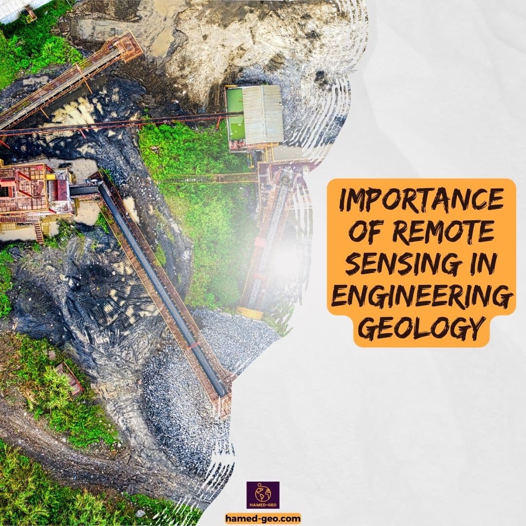
Remote sensing has become an essential tool for engineering geologists in their work. By using remote sensing technology, engineering geologists are able to collect large amounts of data about a site quickly and cost-effectively. This data is used for various purposes, including site investigation, geological mapping, and monitoring of natural hazards and environmental changes. The ability of remote sensing to provide accurate and detailed information about the environment makes it a valuable tool for engineering geologists in their efforts to ensure the safety and stability of civil engineering projects.
Remote sensing data can provide engineering geologists with information about the composition, structure, and properties of the ground, such as soil and rock type, thickness, and moisture content. This information is critical in understanding the geotechnical conditions of a site, and it helps engineers and geologists make informed decisions about the design and construction of civil engineering projects. Remote sensing also plays a role in the monitoring of natural hazards, such as earthquakes, landslides, and floods, as it provides up-to-date information about the state of the environment and helps to reduce the impact of these hazards on civil engineering projects.
The use of remote sensing in engineering geology has greatly improved the way in which geologists collect and analyze data about the environment. With its ability to provide accurate and cost-effective information, remote sensing has become an essential tool for engineering geologists in their efforts to ensure the safety and stability of civil engineering projects.
Principles of Remote Sensing in Engineering Geology
Types of Remote Sensing
There are two main types of remote sensing, passive and active. Passive remote sensing relies on energy from the sun, including visible light, to capture images. Examples of passive remote sensing include aerial photography and satellite imagery. On the other hand, active remote sensing uses energy from a radar or laser to produce images. This type of remote sensing is able to penetrate through clouds and produce images at night, making it useful in areas with limited visibility.
Data Collection and Processing
Data is collected using sensors and cameras attached to satellites or aircraft. The data collected can be in the form of visible light, infrared, or microwave radiation. The data is then processed to produce images that can be interpreted to provide information about the environment. Processing involves several steps, including image correction, image registration, and image classification. Image correction ensures that the images captured are free from distortion, while image registration aligns the images to a common reference system. Image classification involves grouping pixels in the image into different categories, such as rock, soil, or water.
Interpretation of Remote Sensing Data
The interpretation of remote sensing data requires knowledge of geology, geomorphology, and remote sensing techniques. Engineers and geologists use this information to make decisions about the design, construction, and maintenance of civil engineering projects. For example, remote sensing data can be used to identify geological structures, such as faults and rock formations, and to map the distribution of soils, rocks, and vegetation. Remote sensing data can also be used to monitor environmental changes, such as land use change, and natural hazards, such as landslides and earthquakes. The information collected by remote sensing can be used to inform the design of engineering projects, ensuring that they are built on a solid foundation and are able to withstand environmental changes and natural hazards.
Applications of Remote Sensing in Engineering Geology
Site Investigation
Site investigation is an important aspect of the design and construction of civil engineering projects. It involves identifying and assessing the geological, geotechnical, and environmental conditions of a site. Remote sensing can be used to identify geological features such as rock formations, soil types, and faults that may impact the design and construction of the project. Using remote sensing data, engineers and geologists can produce geological maps and cross-sectional views of the site to better understand the subsurface conditions. This information is critical for the design of foundations, slopes, and other engineering structures.
Geological Mapping
Remote sensing can be used to map geological features such as rock formations, soil types, and faults over large areas. This information is valuable for geologists and engineers as it provides a broad understanding of the geology of an area. Geological mapping using remote sensing data can help identify areas with similar geological conditions, which can be used for comparison and correlation purposes. Additionally, remote sensing can be used to produce high-resolution images of geological features, allowing for more detailed analysis and interpretation.
Monitoring of Natural Hazards
Remote sensing can be used to monitor natural hazards such as landslides, earthquakes, and volcanic eruptions. By providing real-time information about changes in the environment, remote sensing can provide early warning, allowing for timely evacuation and mitigation efforts. For example, remote sensing can be used to monitor the stability of slopes and detect signs of potential landslides. This information is valuable for engineers and geologists as it allows them to make decisions about the design and construction of civil engineering projects in areas prone to natural hazards.
Environmental Monitoring
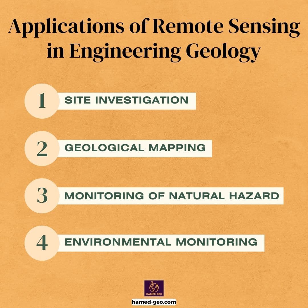
Remote sensing can be used to monitor environmental changes such as land use, deforestation, and desertification. By providing continuous monitoring, remote sensing can provide valuable information for engineers and geologists to make decisions about the impact of civil engineering projects on the environment. For example, remote sensing can be used to monitor the effects of land use changes, such as urbanization and deforestation, on the environment. This information can be used to design sustainable civil engineering projects that minimize their impact on the environment.
Types of Remote Sensing Data Used in Engineering Geology
Aerial Photogrammetry
This type of remote sensing involves capturing aerial images of the earth’s surface, which can then be processed to create high-resolution maps and 3D models of the terrain.
Satellite Imagery
This type of remote sensing collects data from satellites orbiting the earth and provides a broad, synoptic view of the earth’s surface. The data can be used for mapping and monitoring large areas, such as mountain ranges, deserts, and forests.
LiDAR (Light Detection and Ranging)
This type of remote sensing uses laser technology to measure the distance between the sensor and the earth’s surface. The data collected can be used to create high-resolution digital elevation models of the terrain.
Advantages of Using Remote Sensing in Engineering Geology
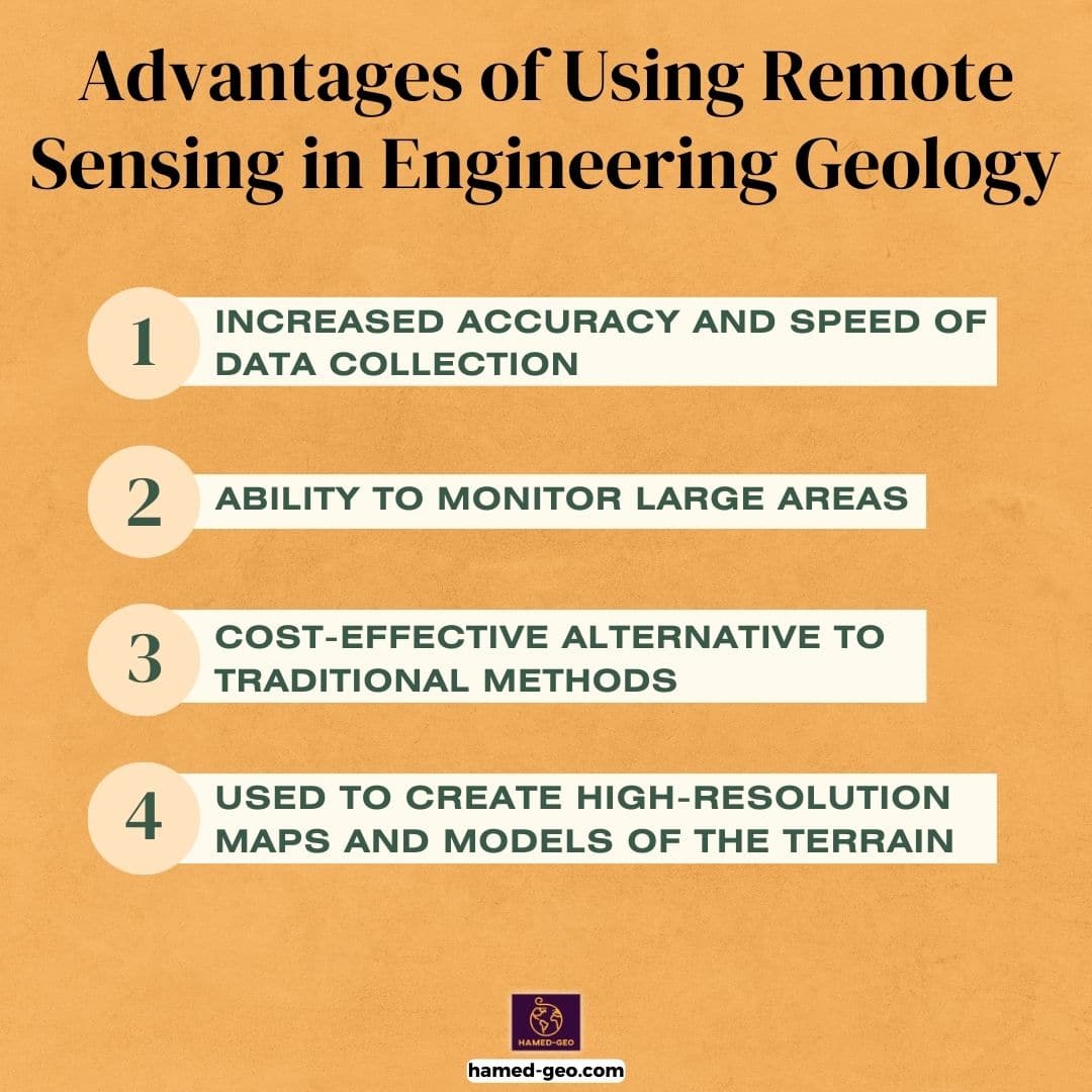
Increased accuracy and speed of data collection
Remote sensing technology has revolutionized the way information about the environment is gathered and analyzed. Remote sensing allows for the collection of vast amounts of data quickly and efficiently, providing engineers and geologists with more accurate information about the environment. This information is critical for making informed decisions about the design, construction, and maintenance of civil engineering projects. The speed at which remote sensing data can be collected also enables engineers and geologists to respond more quickly to changes in the environment, allowing them to make more informed decisions.
Ability to Monitor Large Areas
Remote sensing technology makes it possible to monitor large areas, making it an indispensable tool for geological mapping and environmental monitoring. By using satellite-based remote sensing systems, engineers and geologists can cover vast areas quickly and cost-effectively, providing valuable information about the environment over large spatial scales. This information is critical for understanding the impact of civil engineering projects on the environment, and for making decisions about the design and construction of new projects.
Cost-effective Alternative to Traditional Methods
Remote sensing is often a cost-effective alternative to traditional site investigation methods. Traditional site investigation methods can be time-consuming and expensive, making it difficult for engineers and geologists to gather the information they need to make informed decisions. Remote sensing technology, on the other hand, allows for the collection of large amounts of data quickly and efficiently, reducing the cost of site investigation and providing valuable information at a lower cost. The cost savings associated with remote sensing make it an attractive option for engineers and geologists looking to gather information about the environment without breaking the bank.
Used to create high-resolution maps and models of the terrain
Remote sensing data can be used to create high-resolution maps and models of the terrain, providing valuable information for engineers and geologists. These maps and models can help engineers and geologists understand the topography and geology of a site, as well as identify geological features and natural hazards, such as landslides, earthquakes, and volcanic eruptions. This information is critical for the design, construction, and maintenance of civil engineering projects, as it helps engineers and geologists understand the conditions at the site and identify potential risks.
Used to understand geological processes and natural hazards
Remote sensing can also be used to understand geological processes and natural hazards. For example, remote sensing can be used to study the effects of erosion on the earth’s surface, monitor the movement of glaciers, and track the spread of deserts. By collecting data from a distance, remote sensing allows engineers and geologists to monitor these processes and hazards in a cost-effective and efficient manner, providing valuable information for the management of natural resources and the protection of the environment.
Remote sensing technology offers numerous advantages for engineers and geologists working in the field of engineering geology. The increased accuracy and speed of data collection, the ability to monitor large areas, and the cost-effectiveness of remote sensing make it an essential tool for anyone working in this field. Despite some limitations, remote sensing continues to be a valuable tool for engineers and geologists, and its use is likely to continue to grow as new technologies are developed and adopted.
Limitations of Remote Sensing in Engineering Geology
Data Quality and Availability
The use of remote sensing in engineering geology depends on the quality and availability of the collected data. This data can be limited in areas with cloud cover or limited access to satellites, making it difficult to obtain accurate and comprehensive information. The quality of the data also depends on the quality of the sensors and cameras used, which can impact the accuracy of the information collected.
Technical Limitations
Remote sensing technology has technical limitations that can impact the accuracy of the data collected and the difficulty of interpreting the images produced. For example, the sensors and cameras used in remote sensing have specific limitations, such as spatial resolution and spectral resolution that can impact the detail and accuracy of the information collected. Additionally, the processing and interpretation of the data collected can be a complex and challenging task that requires specialized knowledge and skills.
Interpreting Remote Sensing Data
Interpreting remote sensing data requires knowledge of geology, geomorphology, and remote sensing techniques. This requires engineers and geologists to have specialized training in remote sensing techniques and the interpretation of the images produced. Additionally, the interpretation of remote sensing data can be subjective and open to interpretation, making it necessary for engineers and geologists to have a thorough understanding of the data and the methods used to interpret it.
While remote sensing has many advantages in the field of engineering geology, it also has limitations that can impact the accuracy and reliability of the information collected. It is important for engineers and geologists to be aware of these limitations and to use remote sensing data in conjunction with other data sources and methods to make informed decisions about civil engineering projects.
Future of Remote Sensing in Engineering Geology
The future of remote sensing in engineering geology is bright, with continued advancements in technology leading to increased accuracy and speed of data collection, and improved interpretation of remote sensing data. With the rapid development of remote sensing technology, engineers and geologists will be able to access more accurate and up-to-date information for their projects, improving the overall efficiency of their work.
Final Thoughts and Recommendations
The use of remote sensing in engineering geology is a powerful tool that provides valuable information for the design, construction, and maintenance of civil engineering projects. Engineers and geologists should be familiar with the advantages and limitations of remote sensing and use it appropriately in their work. It is recommended that they receive training in remote sensing techniques to ensure that they are able to interpret the data collected by remote sensing effectively. With continued advancements in technology, the future of remote sensing in engineering geology is bright and its use will continue to play a critical role in the industry.

[…] Remote sensing (e.g., satellite imagery and aerial photography) […]